

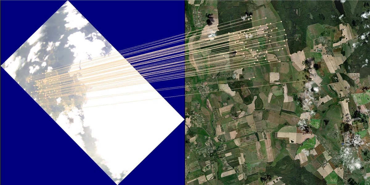
UAVOS has successfully tested NAVAI, a vision-based navigation module for unmanned aircraft systems designed to improve flight resilience when GNSS signals are degraded or temporarily unavailable. NAVAI uses neural networks to match real-time camera imagery with pre-loaded terrain maps, helping unmanned aircraft estimate their position when satellite navigation cannot be relied upon.
The module runs on embedded computing platforms and external mission computers and integrates with the APS Ground Control Station (GCS), providing operators with real-time visualisation of terrain matches, navigation confidence and system diagnostics.
Key features of the NAVAI system include GPS-independent positioning, providing an additional navigation input based on camera imagery; AI-driven resilience, using advanced AI algorithms to filter visual noise and recognise ground features despite cloud cover, haze, low light or seasonal changes in the landscape; dynamic motion correction, which automatically compensates for aircraft tilt through pitch and roll and converts tilted camera angles into a stable, top-down view for precise map matching; and intelligent data verification, with a diagnostic layer that monitors image quality in real time, assigns confidence scores and rejects unreliable data.
For operators on the ground, NAVAI provides additional situational awareness. Through a dedicated interface, pilots can see a live overlay of what the drone “sees” matched directly onto the mission map.
“Vision-based navigation is becoming a defining capability for UAS operations in GNSS-degraded environments. As operating conditions become more complex, the ability to navigate safely and autonomously without relying exclusively on satellite signals will move from a technical advantage to a mission-critical requirement,” said Aliaksei Stratsilatau, Founder and CEO of UAVOS.
Designed as an additional navigation layer for fixed-wing UAVs and unmanned helicopters, NAVAI is intended for autonomous operations across commercial and industrial applications, as well as approved specialised programmes where applicable.
